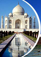
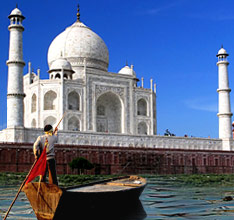
This page contains Uttar Pradesh Maps such as Road map and Tourist map of Uttar Pradesh state of India.

Uttar Pradesh is one of the largest and the most populous states in India. The state stretches from Ghaziabad near Delhi till Benaras and Gorakhpur on the Bihar Border. Along the breadth, it touches Nepal and Uttrakhand in the East and Northeast and Rajasthan and Madhya Pradesh in West and south. The state boasts off a very good network of roads and railways that connect every nook and corner of the state. Following map will help you find your desired location or destination in Uttar Pradesh.
 Uttar Pradesh is one of the largest and the most populous states in India. The state stretches from Ghaziabad near Delhi till Benaras and Gorakhpur on the Bihar Border. Along the breadth, it touches Nepal and Uttrakhand in the East and Northeast and Rajasthan and Madhya Pradesh in West and south. The state boasts off a very good network of roads and railways that connect every nook and corner of the state. Following map will help you find your desired location or destination in Uttar Pradesh.


