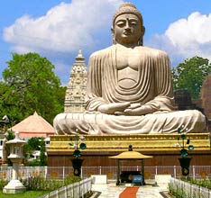
The map of Bihar will help you to know and understand the region better.

Bihar is located between 21�-58'-10" N ~ 27�-31'-15" N latitude and 82�-19'-50" E ~ 88�-17'-40" E longitude. Its average elevation above sea level is 173 Feet. Bihar is spread over 94,163 sq. km area. The state is home to many important tourist destinations in India. If you have any plan of visiting Bihar, it is advisable to arm yourself with a map of Bihar or the particular city you plan to visit. It will help you keep a track of your itinerary and organize tours to different places in a planned manner. Given below is the state map of Bihar. Check it out and prearrange all the traveling destinations you wish to visit.